

USB GPS receiver module antenna
148ر.س
Out of Stock
Product description
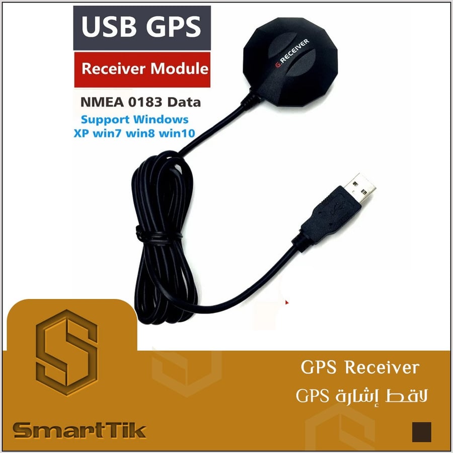
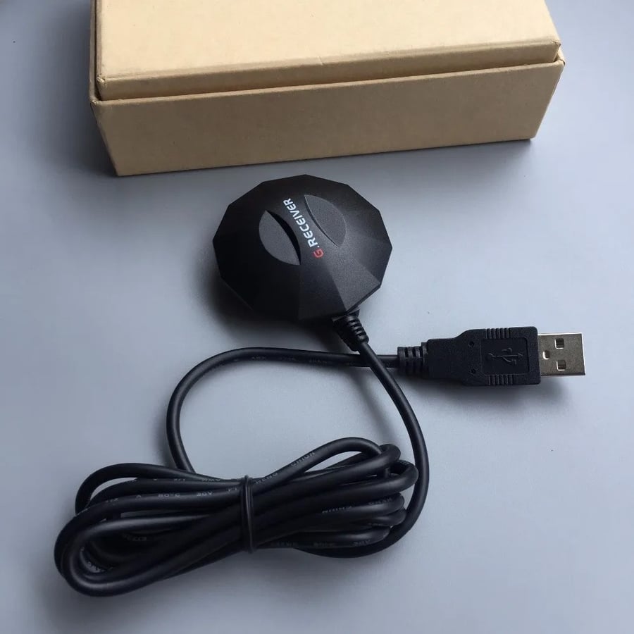
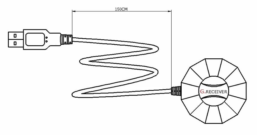
USB GPS receiver module antenna ,magnetic waterproof replace BU353S4 Smart AntennaGPS receiver integrates GPS antenna and the GPS chip, the USB interface, connect the laptop installation driver can work (joint default USB) default output frequency of 1Hz, baud rate: 9600 (Note: the RS-232 communication protocol (PS2, DB9 connector) or jack cable way, please contact us!Cable length: 1.5 m (default) USB GPS GNSS driver and test star software, can be downloaded from our server. (we have more than one version of the test software can choose) You encountered in the use of any questions or you need to buy more quantity, please contact with usWe can provide professional OEM or ODM services.Waterproof rating IPX6, Ublox 7020 multi-mode GNSS chip design, support windows XP win7 win8 win10support:Xp/Win7/Win8/WIN10LED light: to find the signalLED flashing: positionedDefault USB output protocolModel: UB-702Performance replacement BU-353S4 GMOUUSE BU-353Application field:Notebook computer, vehicle navigation, handheld computerThe on-board computer, Car DVRVehicle monitoring, video surveillance, automatic bus station, ship monitoringTiming correction, synchronization application.Network optimization road test, ship navigation.Good receiving performanceAccurate positioning accuracyparameter1 7020 high efficiency GPS chipset2 high sensitivity (-163dBm)3 even if the satellite signal is weak, the first position is still very fast4 support NMEA0183 communication protocol5 built in large capacity, can be stored to achieve rapid satellite signal data6 built in ceramic antenna7 strong magnetism can be adsorbed on the vehicle8.100% waterproof and non slip bottom9 USB or RS232 connection interface10 LED indicators show GPS positioningLED light dark: not enabledLED light: to find the signalLED flashing: positioned11 ENGOS WAAS is supported.Frequency: L1, 1575.42 MHzC/A Code: 1.023 chip rate MHzChannel number: 48 tracking channelsSensitivity: dBm -161PrecisionLocation: 2.5 meters, RMS 2D2 meters, RMS WAAS, enable 2DRate: 0.1 m/sTime: 1 s satellite synchronizationCoordinate dataDefault: WGS-84Receiving timeRe reception: average 0.1 secondsHot boot: an average of 8 secondsWarm boot: average 35 secondsCold and warm boot: average 35 secondsRelated restrictionHeight: 18000 meters (60000 feet) highRate: 515 M / S (10000 knots) maximumGravity: less than 4GShake: 20 m / s * 3powerMain power input: 5V ~ DC input 3.3VPower consumption: 56mA
