

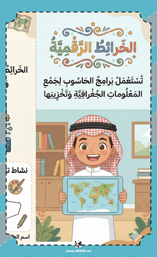
Brochure and activity "History of Maps" – a journey from clay to digital maps for your students!
5.90ر.س
12.9ر.س-54%Product description
Hello to our teachers and parents! Are you looking for a file that explains the map history lesson for our children in an engaging way that connects them to their rich history and modern techniques? We have provided this amazing pamphlet for the social studies lesson that summarizes the lesson clearly:
🗺️ The beginning of maps and their history: Explains to students that humans knew maps before writing and carved them on clay and wood.
🇸🇦 Arab contribution and Saudi leadership: Proudly highlights the role of Arab scholars like Al-Idrisi, and clarifies the efforts of the General Authority for Survey and Geospatial Information in producing modern digital maps of the Kingdom.
💻 The era of digital maps: Simplifies the concept of digital maps and their features, such as accurate depiction of reality and easy updating using computers.
🎨 National coloring activity: Includes a coloring activity dedicated to the map of Saudi Arabia to enhance national belonging among students.
📝 Ready for the achievement file: A practical and organized design that includes spaces for writing "Student's name" and "Teacher's supervision" for immediate and convenient submission.
⚙️ Technical specifications:
File format: High-quality and clear PDF.
Size: Designed to fit standard paper printing (A4).
Type: Digital product (ready for download and direct printing).
👥 Precise target audience:
Students: Fifth grade (boys' schools).
Subject: Social Studies.
Beneficiaries: Teachers (as a worksheet or enrichment activity), and parents (for review and reinforcing geographic and historical concepts).

From Eastern Province