

50 satellite for Osman program
39ر.س
Product description
File size: 400 kilobytes
Number of satellites: 50 satellites
Number of radars: 1000 different radars
File format: osf
Application used: Osmand maps
Details and features:
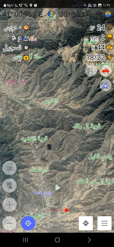
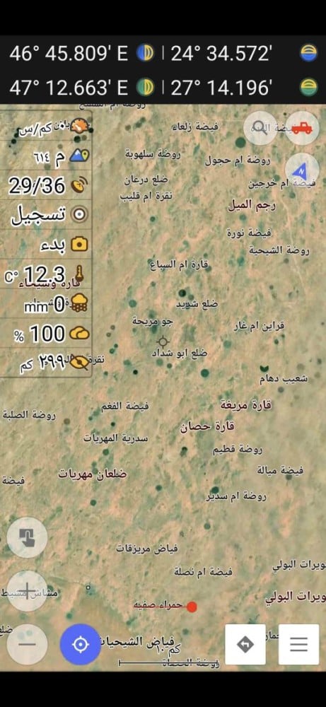
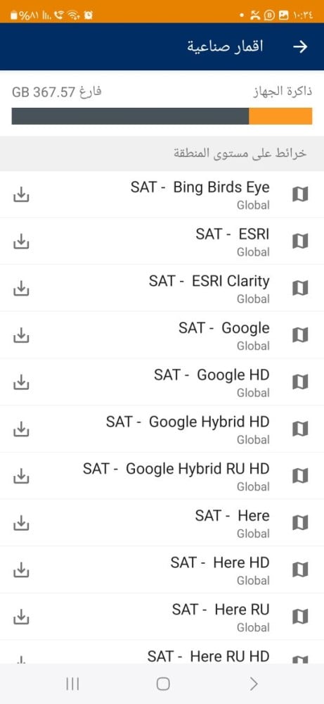
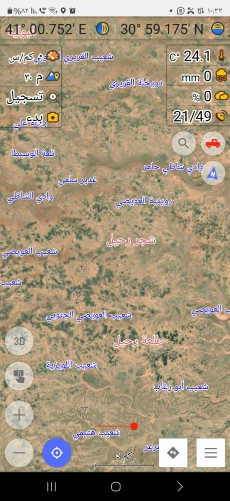
A file containing 50 satellites (aerial images) specifically for the Osmand application from several companies such as Bing, Google, Mapox, Esri, Here, Yandex, Ndvi, rainviewer, and many more. High-resolution satellites help you plan trips on land and see the terrain or vegetation cover, spring, water, rain, and more.
The product is a file containing a collection of high-resolution aerial images, both old and new, taken by more than 50 different satellites. These images are specially designed for use in Osmand, which is used for geographic data analysis, mapping, and monitoring environmental and urban changes.
The images are characterized by their high accuracy, allowing you to see small details on the Earth's surface, such as buildings, roads, water bodies, forests, farms, and industrial areas. These images can be used in various applications, including environmental change analysis such as climate change and deforestation, as well as site identification for construction projects, urban planning, and environmental monitoring.
Thanks to their accuracy and clear details, these images are useful for many purposes, including scientific research, urban planning, environmental monitoring, and disaster prediction, making them a valuable tool for users traveling to the desert and interested in terrain or working in fields such as geography, environment, civil engineering, and agriculture.

From Riyadh